Geospatial
Solutions
Precision at any scale. We deliver millimeter-accurate spatial data and technical insights for West Africa's most ambitious projects.

Millimeter Accuracy
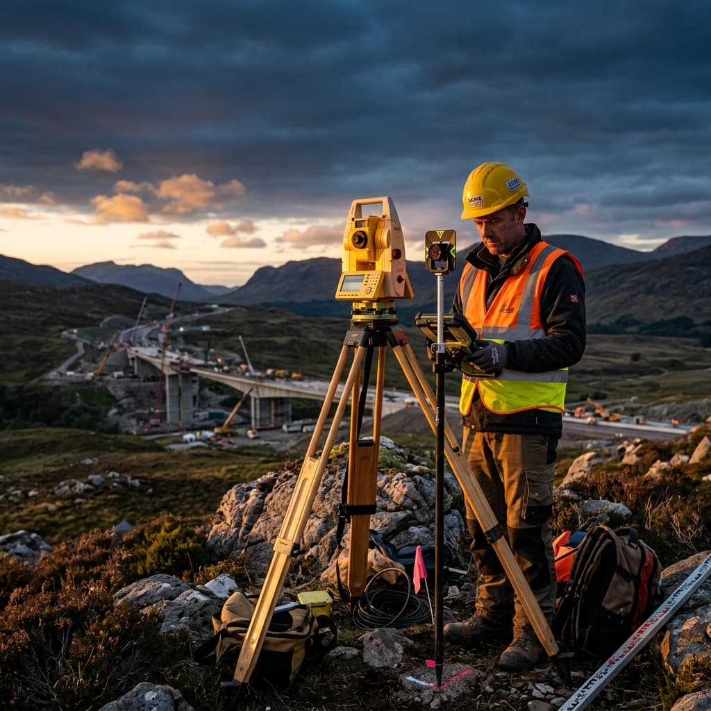
PEXA's geospatial division is the foundation of our engineering excellence. Using top-tier African surveyors and new-age GPS technology, we ensure that every project is built on the most accurate data possible.
Spatial Capabilities
Exploring the dimensions of precision.
High-Precision LiDAR & Scanning
We use terrestrial and mobile laser scanners to create high-density point clouds of complex structures and terrain. This technology allows for rapid, non-contact measurement with millimeter accuracy, ideal for as-built surveys and heritage documentation.
- LiDAR terrain mapping
- As-built structural scanning
- Volumetric analysis
- BIM integration support
Technical Services
Data-driven spatial solutions for modern infrastructure.
3D Scanning
Capturing reality with millimeter precision.
UAV Mapping
High-resolution aerial data collection.
Topography
Absolute accuracy in land and boundary surveys.
Digital Twins
Virtual models for operational intelligence.

Need precise spatial data for your project?
Our geospatial experts are ready to provide the accuracy you need to move forward with confidence.
Contact our surveyors